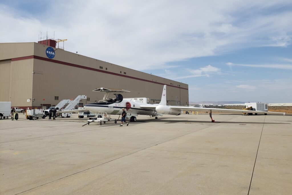
NASA has embarked on a mission to find and map vital mineral deposits in the Western United States using high-altitude reconnaissance aircraft.
The Geological Earth Mapping Experiment (GEMx) project is a joint effort between NASA and the United States Geological Survey (USGS). It involves a specialized Gulfstream V business aircraft and two Lockheed ER-2 Earth Resources aircraft, fitted with NASA instrumentation.
“These instruments collect hyperspectral images, or images that use color to convey the geophysical complexities behind seemingly simple or monochromatic surfaces,” NASA explained in a press release. “The visual data that is produced by these optical sensors indicates the constituents and changes of Earth’s surface and atmosphere.”
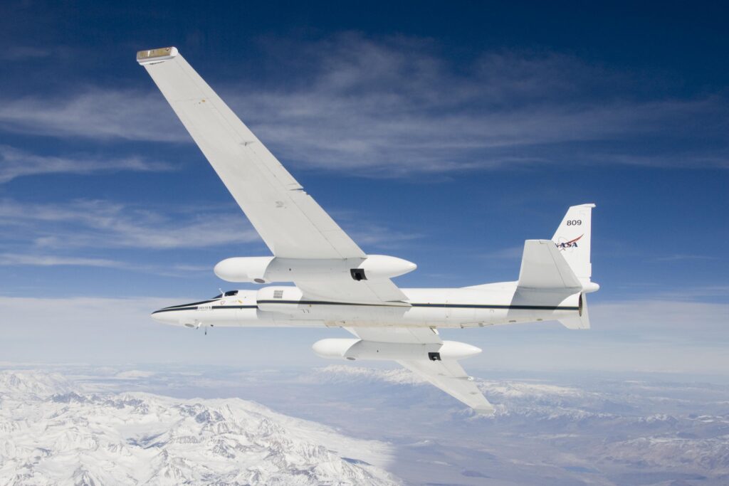
The ER-2 aircraft is a high-altitude aircraft primarily used for scientific research missions. It is based on Lockheed Martin U-2 reconnaissance aircraft, also known as the ‘Dragon Lady’, developed during the Cold War era primarily for the US Air Force and Central Intelligence Agency to observe Soviet territories. NASA acquired two of these aircraft, one in 1981 and another in 1989.
In line with its original purpose, the NASA ER-2 is capable of flying at extremely high altitudes, reaching up to 70,000 feet (approximately 21,300 meters) above the Earth’s surface. It is equipped with a range of measurement instruments and scientific sensors to gather data on the atmosphere, meteorology, oceanography, geophysics, and other research fields. Due to its ability to operate at such altitudes, the ER-2 is often used for atmospheric studies and Earth observations.

During a GEMx mission, aircraft fly at around 65,000 feet to collect geophysical data covering vast areas. The instruments capture detailed images using color to reveal hidden geological features on Earth’s surface, including critical minerals. The minerals surveyed are crucial for everyday products such as laptops and cell phones. The mission aims to reduce dependence on foreign sources for these critical minerals.
Dean Riley, a geologist from the University of Arizona involved in the GEMx project, said: “This mission, data, and its respective data products can help the public along with local, state, tribal, and federal agencies make effective decisions regarding management of natural resource deposits including critical mineral resources.”
The GEMx project will provide modern geophysical data over a three-year period, running from 2023 to 2026.

